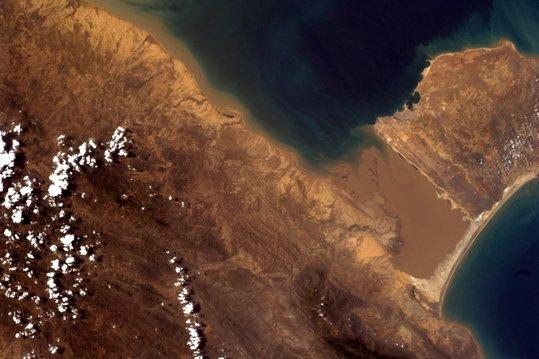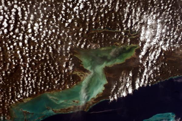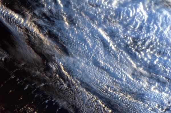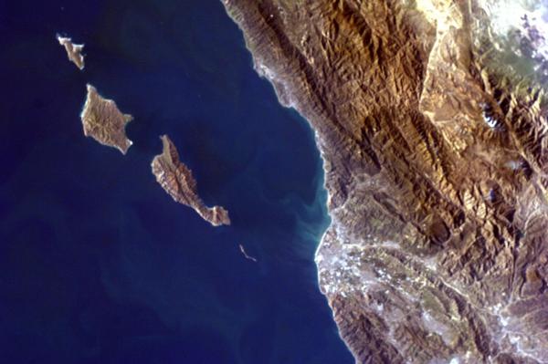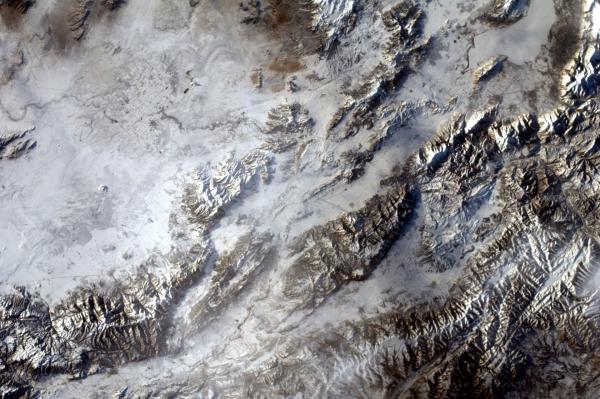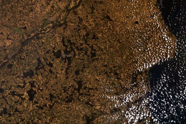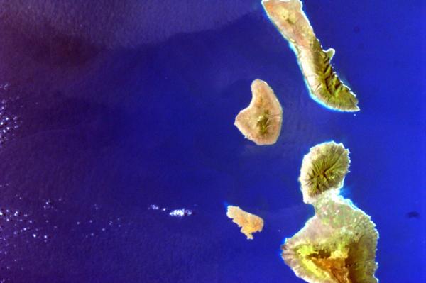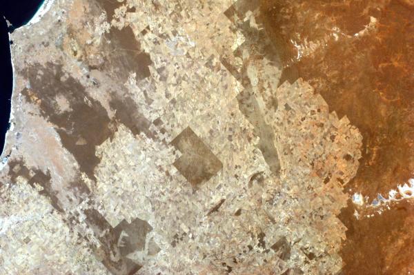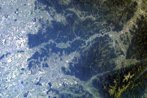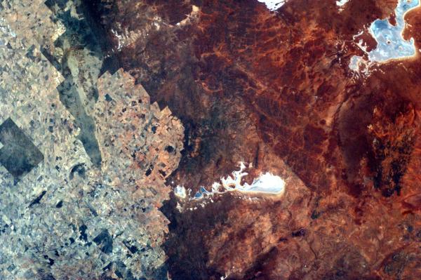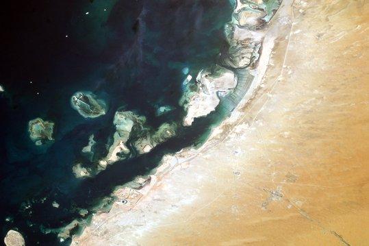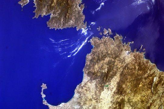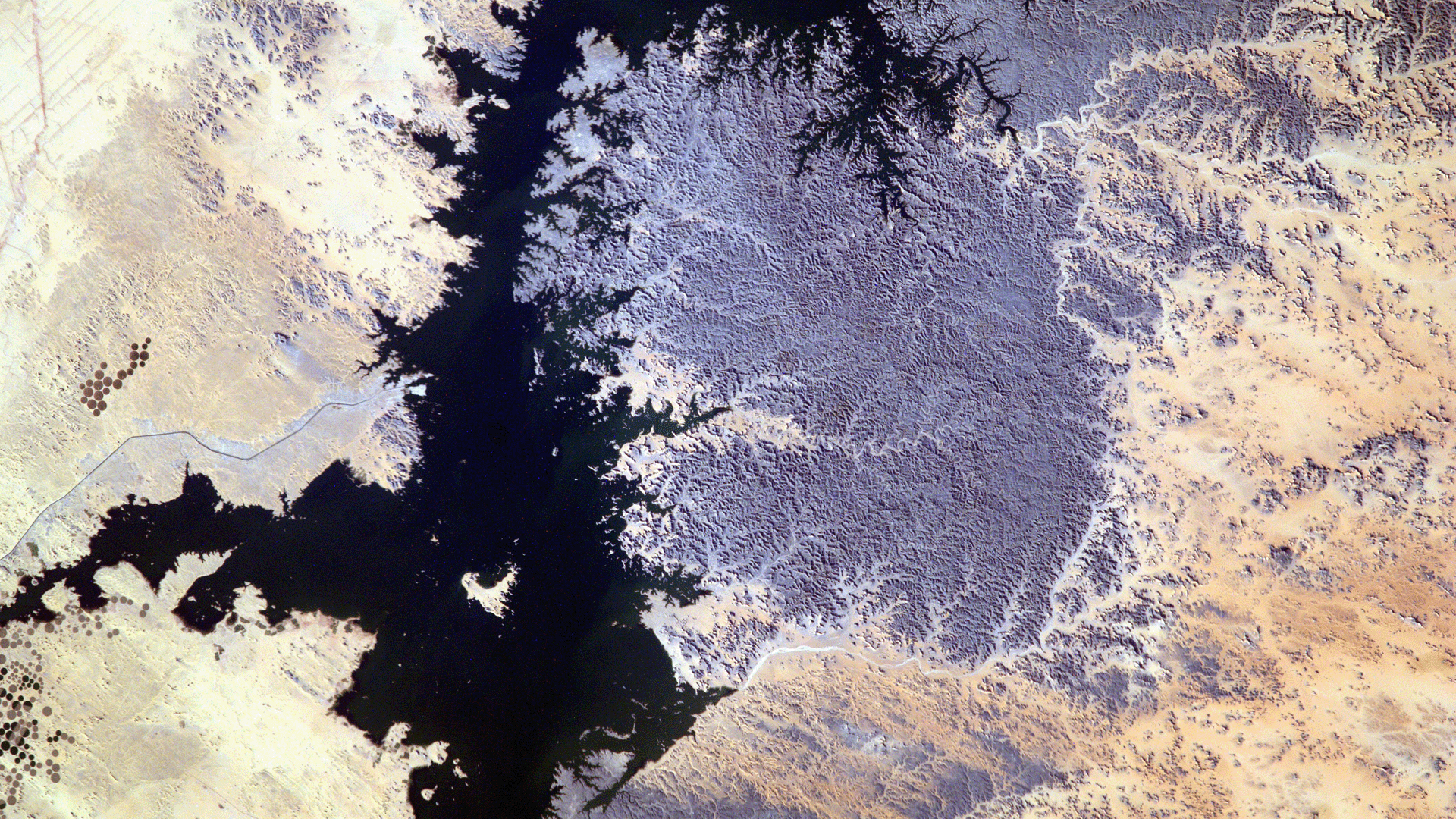
The Sally Ride EarthKAM @ Space Camp program lets students operate a payload on the International Space Station and photograph specific locations of the Earth from space. Using the latitude and longitude coordinates of the ISS’s orbits during EarthKAM Mission Weeks, students make image requests that are captured as the ISS passes overhead. The images are then uploaded to the EarthKAM image gallery where students can retrieve their files.
This free program is open to any formal or informal education program. There are four to five mission weeks per year, and each mission week is announced on the EarthKAM website as well as through email notification for registered participants.
The website also features a searchable image gallery of over 250,000 images captured during the program’s existence, a curated selection of annotated images, and educational resources that are freely available.
This NASA mission is administered by the U.S. Space & Rocket Center with partners The University of Alabama Huntsville and Teledyne Brown Engineering.


